
Restoring Coastal Wetlands in Europe


RESTORE4Cs project, 2025

Restoring Coastal Wetlands in Europe

Implementation Roadmap to Guide National Action

Publication
Citation

Kampa, E., Elkina, E., Otero, M., Lago, M., Schritt, H., Guelmami, A., Camacho, A., Bodivit, A., Pollman, N., Suarez, S., Lillebø, A., Schröder, C., & Ronse, M. (2025). Restoring Coastal Wetlands in Europe ‒ Implementation Roadmap to Guide National Action. Horizon RESTORE4Cs Project GA ID: 101056782.

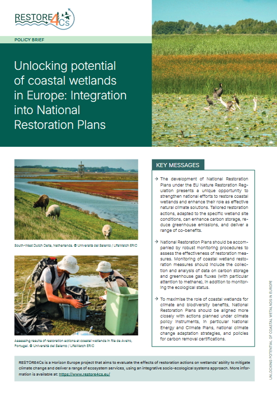
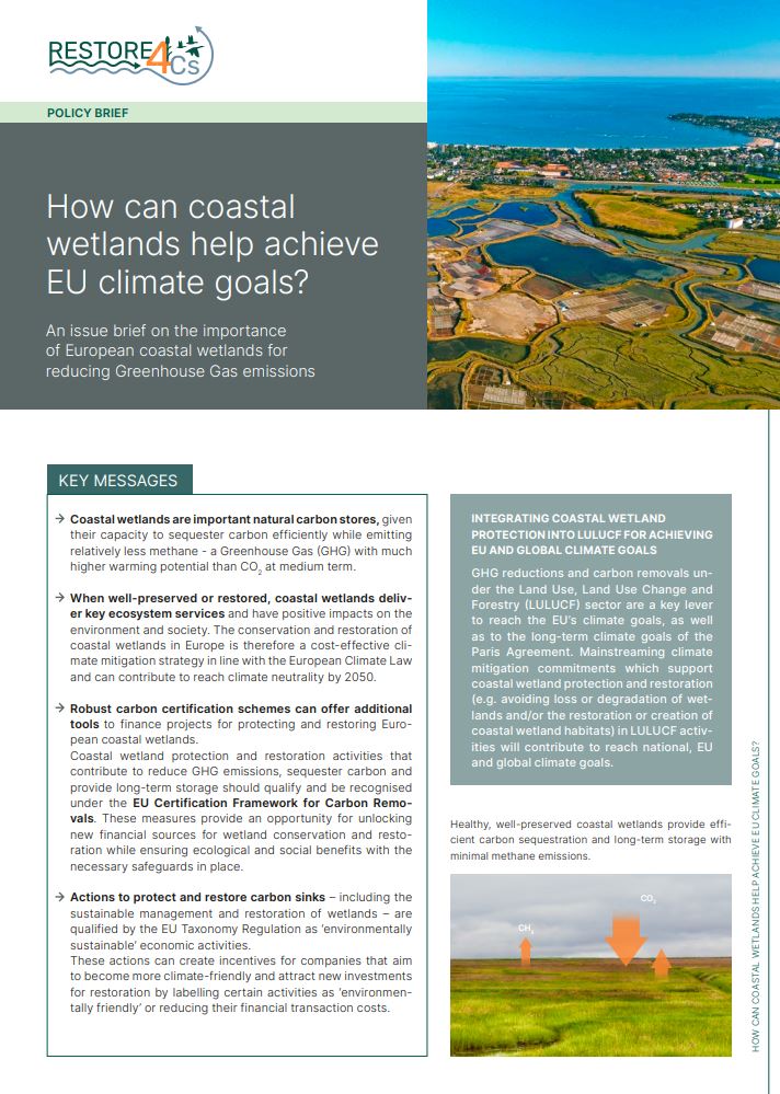
Europe’s coastal wetlands are vital ecosystems that play a crucial role in climate change mitigation and adaptation, biodiversity conservation, and the delivery of multiple ecosystem services. As highly productive and valuable environments, they function as natural carbon sinks and biodiversity hotspots. Consequently, they are central to several EU environmental and climate policy processes. These include, for example, the development of National Restoration Plans under the EU Nature Restoration Regulation, national commitments under the Ramsar Convention, and reporting obligations on wetland emissions and removals under the EU LULUCF Regulation.

"RESTORE4Cs Restoring Coastal Wetlands in Europe – Implementation Roadmap to Guide National Action" is a practical guidance document, designed to support national authorities and stakeholders in developing or strengthening strategies for coastal wetland restoration, helping countries meet these and other related obligations. The Implementation Roadmap builds on the latest scientific knowledge and integrates key RESTORE4Cs findings, tools and methodologies into a coherent decision-support framework.

The roadmap follows a step-by-step decision-making process, leading users from baseline assessment through to the planning and implementation of restoration actions on the ground. To demonstrate its practical application, the approach was tested in two pilot countries, Portugal and Romania, highlighting how the roadmap and its tools can be adapted to different national contexts.

The pilot national roadmaps for Portugal and Romania can be accessed online as well.

Contact

More content from this project

Language
English
Authorship
Maria del Mar Otero (University of Malaga)
Anis Guelmami (Tour du Valat)
Antonio Camacho (UVEG)
Auriane Bodivit (VertigoLab)
Nico Pollman (WUR)
Santiago Suarez (MedWet)
Ana Lillebø (University of Aveiro)
Christoph Schröder (University of Malaga)
Michael Ronse (Tour du Valat)
Credits

Reviewed by: Carmela Marangi (CNR), Daniel von Schiller (University of Barcelona)
Acknowledgement: Maps produced with support from the project partners University of Malaga and Tour du Valat.
Layout: Jennifer Rahn

Funding
Year
Dimension
133 pp.
Project
Project ID
Table of contents
Keywords
coastal wetland restoration, coastal wetlands Europe, nature-based solutions, climate change mitigation wetlands, blue carbon Europe, carbon sequestration wetlands, biodiversity conservation wetlands, ecosystem services coastal areas, climate adaptation wetlands, greenhouse gas reduction wetlands, CO₂ removal ecosystems, wetland rewetting, habitat restoration, EU Nature Restoration Regulation, sustainable land management, wetland management strategies, ecological restoration Europe, coastal ecosystem resilience, water quality improvement wetlands, natural flood protection, coastal erosion control, sustainable coastal development
Europe, Mediterranean region, Atlantic coastal Europe, Baltic Sea region, Black Sea region, Portugal, Spain, France, Netherlands, Lithuania, Romania, Camargue, Ria de Aveiro, Valencian wetlands, South-West Dutch Delta, Curonian Lagoon, Danube Delta, European coastal regions, EU Member States, Natura 2000 sites, European wetland landscapes
Spatial Decision-Support Toolbox, GIS analysis, remote sensing, Copernicus Digital Elevation Model, land use land cover analysis (LULC), Potential Wetland Areas (PWA), Potentially Restorable Wetlands (PRW), multi-criteria analysis (MCA), cost-benefit analysis (CBA), meta-analytic value transfer (MAVT), indicator-based assessment, ecosystem condition assessment, SEEA ecosystem accounting, MAES framework, hydrological modelling, Topographic Wetness Index, NDVI analysis, time series analysis, scenario modelling, stakeholder engagement, policy analysis, monitoring frameworks, decision support systems (DSS), EU data integration, spatial mapping tools