


Naturbasierte Klimaanpassung mit Stadtkarten
Ein Leitfaden für Kommunen
- Publication
- Citation
Mederake, Linda; Bueb, Benedict; Felthöfer, Charlotte (2026): Naturbasierte Klimaanpassung mit Stadtkarten. Ein Leitfaden für Kommunen. Herausgegeben vom Umweltbundesamt, Fachgebiet I 2.8 – Vorsorgende Umsetzungsstrategien und Instrumente der Klimawandelanpassung, Aktionsprogramm Natürlicher Klimaschutz. Dessau-Roßlau. ISSN 2363-832X.
What do shaded paths, green roofs and restored waterways have in common? In many cities, they are already part of the urban landscape – yet often remain unnoticed. This guide guide, which was compiled by the Ecologic Institute and published by the German Environment Agency, focuses on these existing measures. It explains how municipalities can use city maps to make nature-based climate adaptation visible, place it in context and communicate it in a transparent and accessible way.
City maps as an instrument for climate adaptation
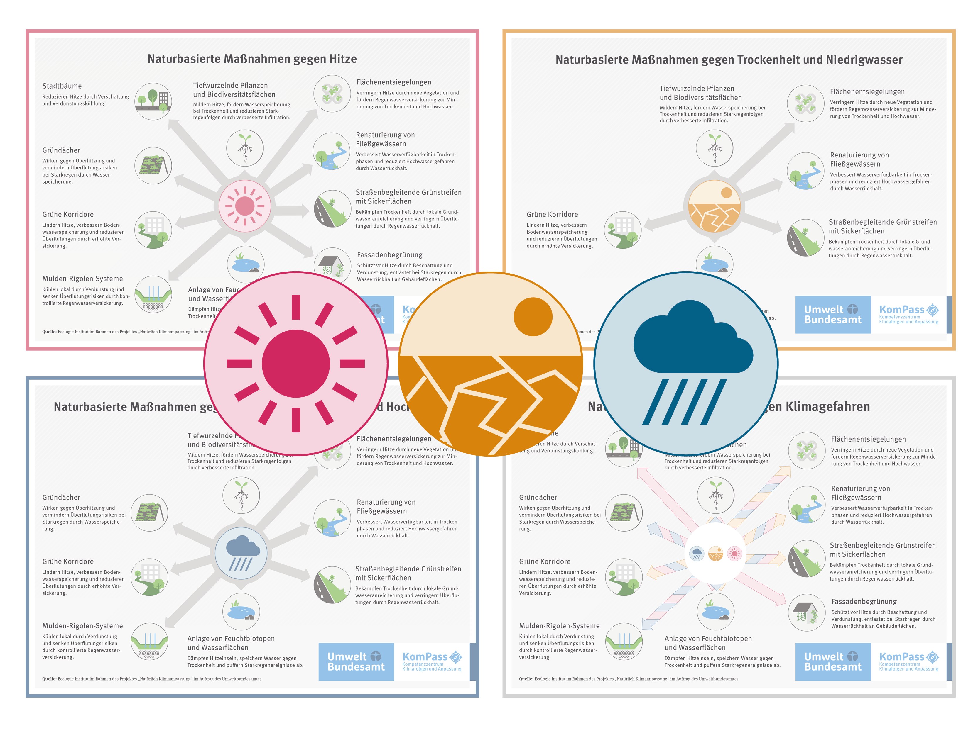
Nature-based solutions operate in space. City maps make this spatial dimension usable by bringing together information, structuring existing measures and clarifying their functions. The guide treats maps not as a purely visual product, but as a practical tool that links planning, communication and participation.
Used in this way, city maps can support the systematic documentation of existing measures, explain their contributions to climate adaptation and quality of life, and facilitate exchange between municipal administrations, political decision-makers and the public.
From inventory to finished map
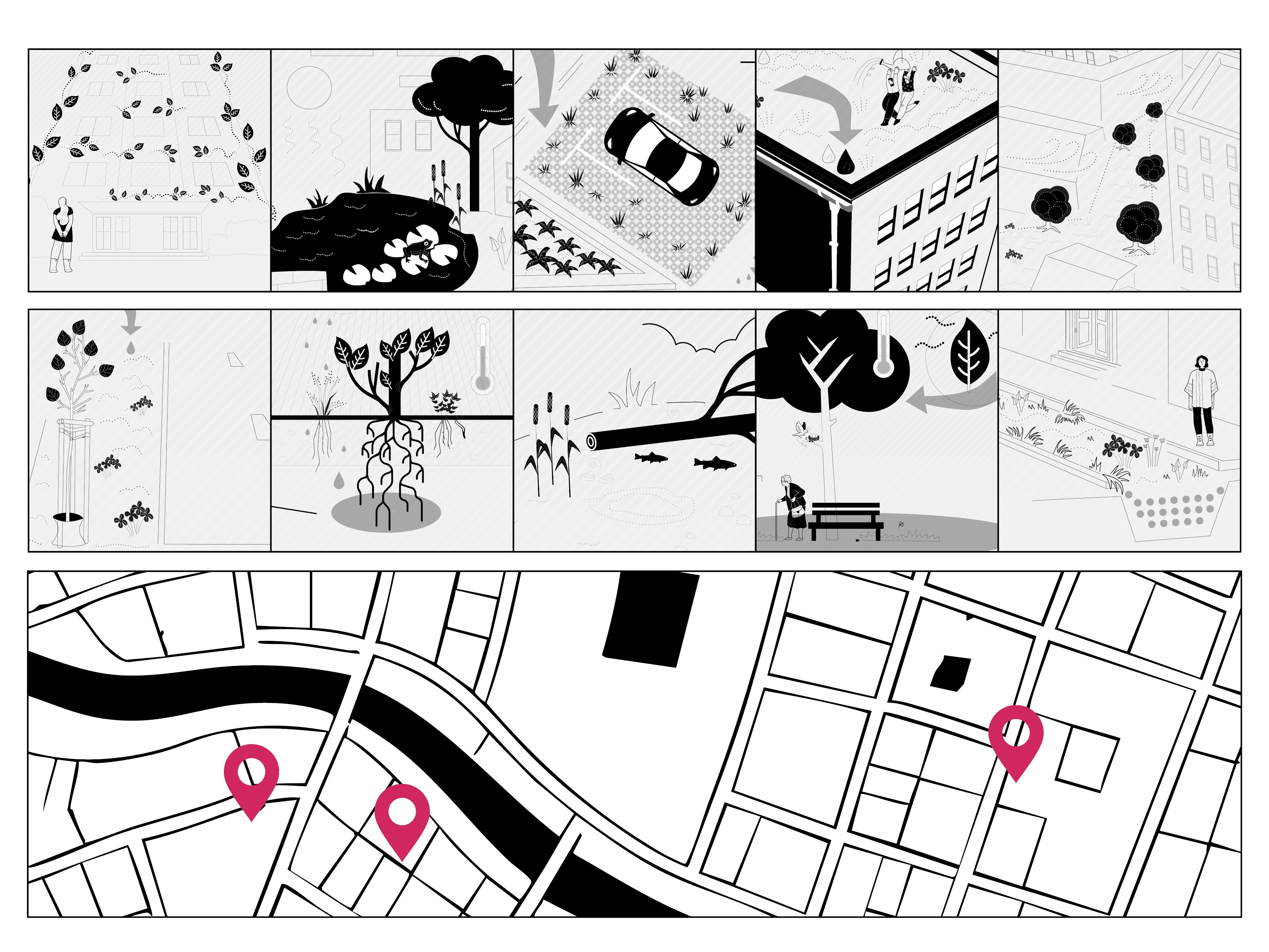
The guide outlines the key steps involved in developing a nature-based solutions city map. These include compiling relevant information on climatic challenges, ecosystem services and existing measures, defining clear objectives and key messages, and selecting appropriate formats – digital or analogue. Additional guidance is provided on design principles and accessibility.
Examples from municipal practice illustrate different applications, such as public information tools, a basis for participatory processes, or internal working instruments.
Using maps in practice
Beyond presentation, the guide also addresses how city maps can be used in public space. It introduces approaches such as thematic walking routes, QR codes at project sites, information panels or digital add-ons, including audio formats. The guide also provides suggestions for dissemination, for example, via municipal websites, social media, print products or public events.
Guidance for municipal practice
The guide is aimed at municipalities of different sizes and levels of experience. It combines technical background with practical implementation advice and supports local authorities in communicating nature-based climate adaptation in a structured way and embedding it in the urban context.
The guide was developed as part of the ‘Climate Adaptation Naturally!’ project and is available free of charge as a PDF file.
Contact

- Language
-
German
- Authorship
- Credits
Editing: Dr. Andreas Huck (UBA)
Typesetting and layout: Lena Aebli (Ecologic Institute)- Funding
-
German Environment Agency (UBA), Germany - Published by
-
German Environment Agency (UBA), Germany - Year
- Dimension
- 40 pp.
- ISSN
-
2363-832X
- Project
- Project ID
- Table of contents
-
Click to show full table of contents
- Keywords
-
nature-based solutions planning, climate adaptation tools, urban climate resilience, spatial planning for adaptation, ecosystem-based adaptation measures, municipal climate strategies, climate adaptation implementation, decision-support tools for municipalities, urban resilience planning, climate adaptation guidanceGermany, German municipalities, local authorities, urban areas, cities and towns, municipal level, European context, regional planning, local climate governance, urban regionscartographic analysis, spatial mapping, GIS-based visualisation, data visualisation, thematic mapping, participatory mapping, visual decision-support tools, design-based research, infographic design, visual storytelling, layout and information design, user-centred design, practice-oriented guidance, applied policy analysis
Tröltzsch, J., Bueb, B., Davis, M., Dengler, F., Dicke, F., Knoblauch, D., Kupilas, B., Mederake, L., Naumann, S., Pumberger, M., Scholl, L., De la Vega, R., & Georgi, B. (2025). Naturbasierte Lösungen für die kommunale Klimaanpassung stärken: Herausforderungen und Lösungsansätze. Umweltbundesamt. https://doi.org/10.60810/openumwelt-7902
Dicke, F., Tröltzsch, J., Bueb, B. (2025). Jenseits öffentlicher Gelder: Wie Kommunen naturbasierte Lösungen für die Klimaanpassung finanzieren können. Fact Sheet. Umweltbundesamt: Dessau-Roßlau.
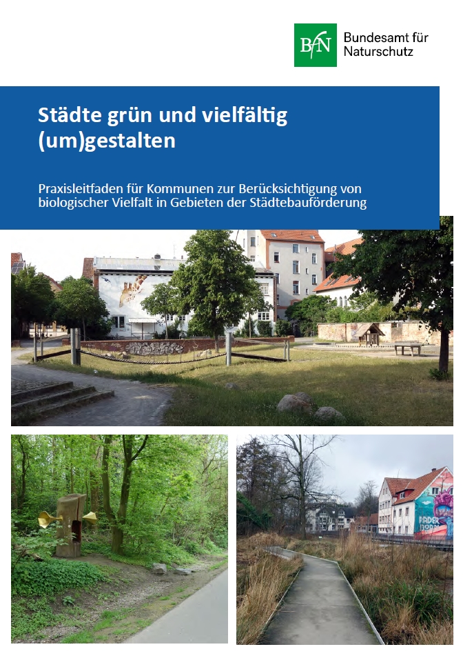
Bundesamt für Naturschutz (Hrsg.) (2024): Städte grün und vielfältig (um)gestalten. Praxisleitfaden für Kommunen zur Berücksichtigung von biologischer Vielfalt in Gebieten der Städtebauförderung. Bonn.
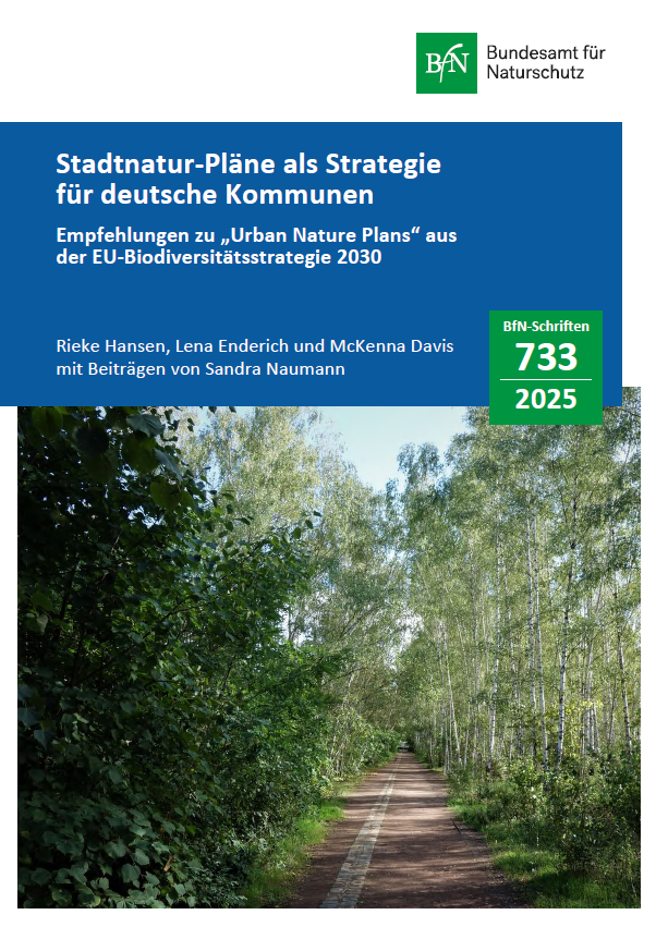
Bundesamt für Naturschutz (ed.) (2025): Stadtnatur-Pläne als Strategie für deutsche Kommunen. Empfehlungen zu "Urban Nature Plans" aus der EU-Biodiversitätsstrategie 2030. Bonn.
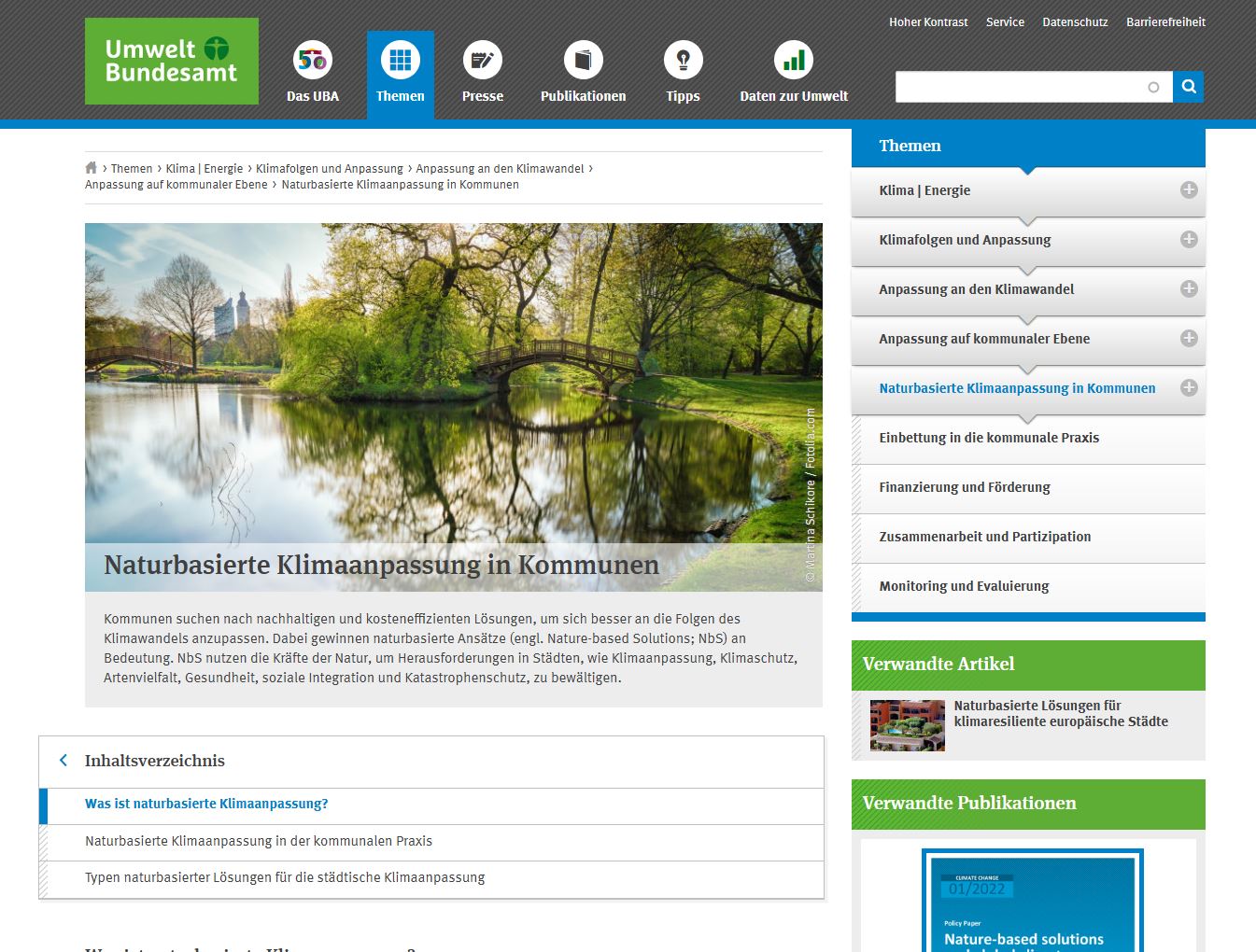
German Environment Agency (ed.): Naturbasierte Klimaanpassung in Kommunen. Topic page compiled by Ecologic Institute on behalf of the German Environment Agency, Dessau-Roßlau. URL: https://www.umweltbundesamt.de/themen/klima-energie/klimafolgen-anpassu…
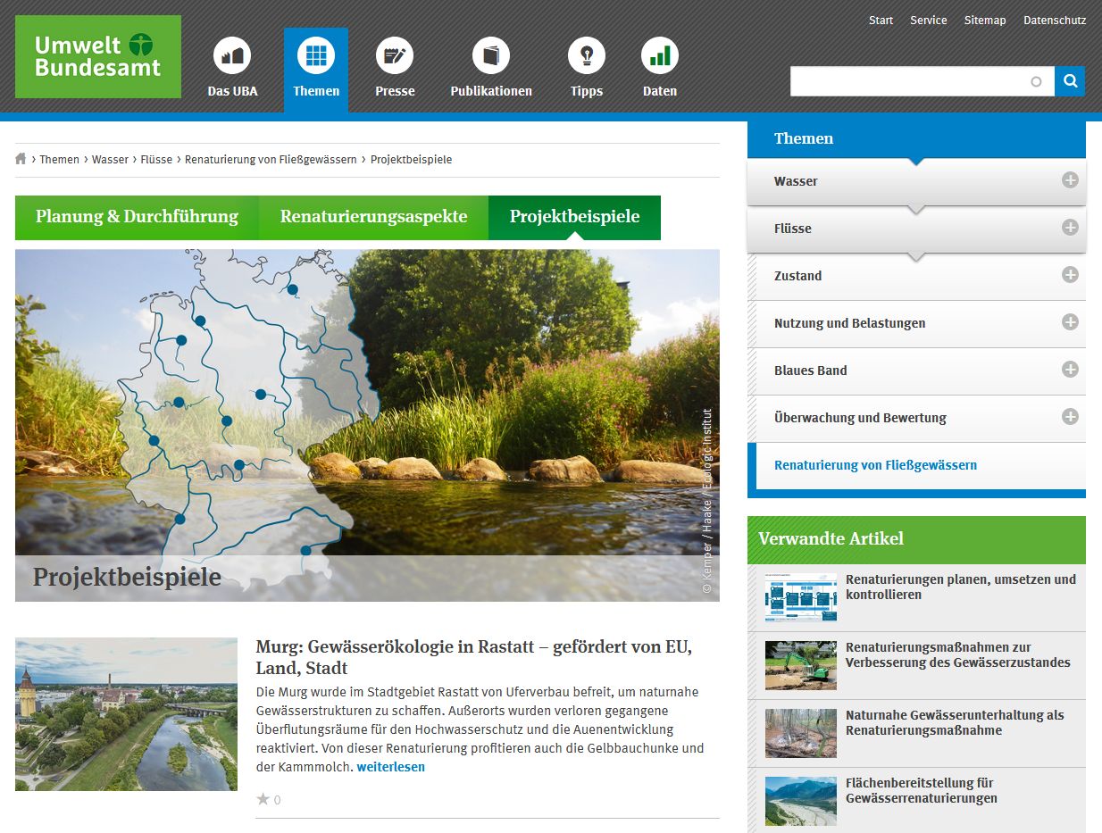
German Environment Agency (ed.) 2019: Renaturierung von Fließgewässern. Internetportal compiled by Kemper M., Lamberty G., Wagner F. and Zumbroich T. on behalf of the German Environment Agency, Dessau-Roßlau. URL: www.uba.de/renaturierung
Umweltbundesamt 2019: Naturnaher Hochwasserschutz an der Fulda. Video. Online: https://youtu.be/8-A4Oh0pqaY
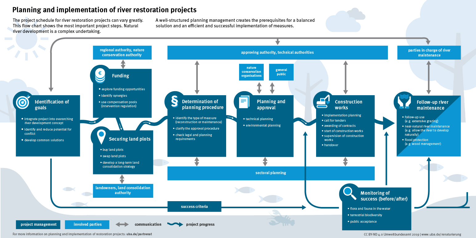
Umweltbundesamt (2019): Planning and implementation of restoration projects. Infographic. Online: uba.de/planrenat